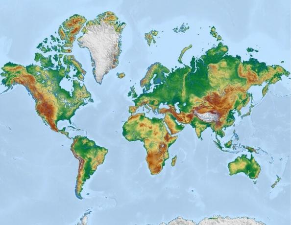
A map is a graphical representation of a terrain or territory. The types of maps that exist vary according to their scale, purpose and what they represent. Maps can be classified as physical or human.
Physical maps are those that present physical formations present in nature. Human maps, on the other hand, are representations based on human activity (political, social or cultural).
While thematic maps are representations of a territory as a function of some theme. For example, maps of socioeconomic development, violence, migration flows, are thematic representations.
The main types of map are:
1. physical map
Physical maps are representations of physical and natural elements of a territory, which are independent of human action. In this type of map, the scales are respected as accurately as possible so that the reader has a complete idea of the information present on the maps.

Examples of physical maps:
- Geomorphological map - represents the geological and relief formations of a territory.
- Hydrographic map - represents the rivers, lakes, basins and seas of a region.
- Climate map - representation of the climate agents operating in a given region.
2. political map
Political maps focus on the limits and boundaries defined by social and political conventions. In general, natural issues have no representation or are secondary.

Political maps show the administrative divisions between cities, states, countries, or other political organizations.
3. demographic map
Demographic maps are representations of the population that occupies a given territory. In this type of map, a graphic variation is created with colors or shapes that indicate how the population is distributed in the region.

4. historical map
Historical maps are informative of a territory according to historical facts that may have influenced some kind of change.

In general, historical maps show changes in boundaries and borders, aggregation of territories to a country or region.
5. economic map
The economic map is an example of a thematic map that is based on economic issues related to production in different territories, as well as the occupation of workers and the flow of products and services.

6. vegetation map
The vegetation map, sometimes called a biogeographic map, presents the vegetation type of a particular location, or even the distinction between biomes in larger areas.

7. Stylized map (anamorphosis)
Stylized maps are those that present a visual variation depending on their theme. Therefore, stylized maps are always thematic maps.
Anamorphosis is the type of map that varies proportionally according to the proposed theme. In the image below, we have an example of a map of the Brazilian population followed by its anamorphosis:

In stylized maps, in general, scales are not respected, this occurs to create a stronger and more evident representation of the idea that one wants to convey.
See also the meanings of:
- Cartography
- Topography
- Hydrography
- Scale
- Latitude and longitude
- Geographic space
