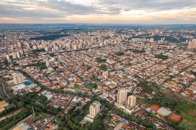
To the plains are ways of relief, in general, low and flat. Its formation is linked, especially, to the geomorphological process of sedimentation. The plains are composed of the accumulation of sediments of different origins over time. They are classified as coastal, lake and river. One of the largest plains in the world is the Amazon. There are two other Brazilian plains, the Pantanal and the Coastal.
Read too: What are the relief transforming agents?
Summary about plains
Plains are a form of terrestrial relief characterized by the predominance of low altitudes.
These flat surfaces are characterized by the predominance of the sediment deposition process.
The formation of plains is a complex process, the result of higher rates of deposition in relation to erosion.
Plains are traditionally classified, according to the origin of their sediments, into coastal, lacustrine and fluvial.
Examples of global plains are: Great Plains (America); from Congo (Africa); Central European (Europe); Mesopotamia (Asia) and Australia (Oceania).
In Brazil, three plains are traditionally identified: Coastal, Amazonian and Pantanal.
What are the plains?
The plains are relief forms characterized by low altitude. In general, these geomorphological forms are flat, with few undulations and a very low elevation amplitude. The plains are predominantly formed by relief sedimentation processes.
Characteristics of the plains
The plains, with the mountains, you plateaus and depressions, form the set of the main relief forms present on the Earth's surface. They are characterized by low altitude, that is, are traditionally low forms, with low altitude indices.
Furthermore, the plains he has a basically flat formation, resulting from its formative processes, composed of the accentuated sedimentation and deposition of the relief. In this sense, it is noteworthy that, in lowland areas, the sedimentation process is greater than that of erosion, thus causing the formation of predominantly flat geomorphological features.
Types of plains
The classic classification of plains involves the origin of the sediments that contribute to their formation. Thus, there are three types of plains:
Coastal Plains: This type is located along the coastal strip of seas and oceans, therefore, it is formed by sediments from these bodies of water.
Lake plains: This typology is specific to areas bathed by lakes and lagoons, whose local sediments come from these water sources.
River plains: This classification brings together the set of areas bathed by rivers and other freshwater courses, that is, areas formed by alluvial sediments.

Origin of the plains
The formation of the plains involves a complex geomorphological scenario, characterized by predominance of the sedimentation process in relation to erosion. In sedimentation, sediments are carried from areas of higher to lower altitude, notably by the action of relief agents such as water and wind.
Thus, there is a large deposition of sediments in lower areas of the relief, in which the deposition process predominates. Therefore, the accumulation of these sediments is the main driver of the origin of the plains in landscape.
What are the largest plains in the world?
The plains are a relief formation that is well distributed across the different continents of the world. They are plains of notable territorial extension at a global level:
Great Plains (North America);
Amazonian plain (South America);
Congo Plain (Africa);
European Great Plain (Europe);
Mesopotamian plain (Asia)
plain of Australia (Oceania).
Brazilian plains

According to the classifications of Brazilian relief, such as that defended by Aziz Ab'Sáber, one of the most traditional in the country, Brazil has three plains. Are they:
Amazonian plains and lowlands: the largest in the country and one of the largest in the world, it is formed by land located in the central-north portion of South America. This plain, with a typically equatorial climate and tropical forest vegetation, has the Amazon River as its main watercourse.
Coastal Plain and Lowlands: refers to the set of Brazilian coastal lowlands located around the coast of Brazil. Thus, they are formed by sediments from the Atlantic Ocean, therefore, it is a type of coastal plain. This plain covers a large part of the Brazilian northeast and southeast coasts.
Pantanal Plain: is located in the central portion of the South American continent. It is characterized by climate tropical and also due to the tropical vegetation, and also due to the seasonality of its floods. This floodplain has a large biodiversity of plants and animals. Its main watercourse is the Paraguay River.
See too:Brazilian relief — how is it constituted?
Solved exercises on plains
Question 1
(Unemat)
In the proposed classification of the Brazilian relief, Ross (1989) presented the following characterization: they are the only units of the Brazilian relief whose framework consists of recent sedimentary basins, formed by depositions from the period Quaternary.
MAGNOLI and ARAÚJO, 2005.
The characterization exposed refers to:
A) plateaus.
B) plains.
C) depressions.
D) sedimentary basins.
E) cratons.
Resolution:
Alternative B
Plains are recent relief forms, resulting from diverse sediment deposition processes, especially throughout the Quaternary period.
Question 2
(UEFS)
In the Northeast, these formations stretch from Maranhão to the south of Bahia. They result from recent deposits from the Cenozoic era (Quaternary period) and alternate with formations higher, originating from sediments from the same geological era, although older (period tertiary). This sedimentary area contains large oil reserves in the states of Bahia, Sergipe, Alagoas, Rio Grande do Norte, Ceará and Maranhão.
MOREIRA, 1998, p. 214.
The alternative that best expresses the relief forms described in the text is the
A) East-Southeast Plateaus and Mountains.
B) Coastal Plains and Plateaus.
C) Plateaus and Chapadas of the Parnaíba Basin.
D) Chapada Diamantina and Depression of Tocantins.
E) Borborema Plateau and Chapada Diamantina.
Resolution:
Alternative B
The coastal plains, also called coastal plains and lowlands, are a plain formation coast that extends along almost the entire northeastern territory, being formed by several deposits sedimentary.

