In geography, altitude is a concept that is related to vertical distance (in meters) from a point in relation to sea level.
Remember that the higher the altitude, the lower the temperature of the location. On the other hand, the lower the altitude, the higher the temperature.
Thus, we can conclude that altitude and temperature are, in this case, inversely proportional quantities. That is, when one increases, the other decreases, and vice versa.
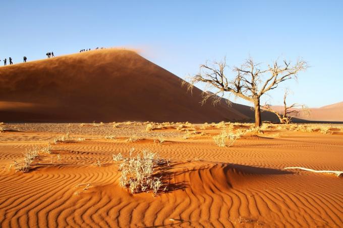
We must remember that the altitude is closely related to the climate. So the higher places are cooler.
This is because higher altitudes have less gas concentration and are characterized by the difficulty of retaining heat. One example is very high mountains that have snow on their summits.
Thus, the higher the altitude, the less oxygen is present. For this reason, people who climb or reach very high points are prepared for this.
In the Andes, for example, populations that live there are used to the thin air and the lower atmospheric pressure of the place. Many of them chew coca leaves to oxygenate and improve breathing.
Stay tuned!
Many tend to confuse the concepts of height and altitude, or even think they are synonymous. Both are related to the vertical distance of the relief, however, they present differences in terms of reference.
While height determines the measurement of any point, altitude, in turn, is always measured in relation to sea level (0 meters of altitude).
Thus, when a point is below sea level it is called negative altitude (eg a depression). Hence, positive altitude is when the point is above sea level.
Altitude Rating
- Absolute Altitude: vertical distance between a point on the earth's surface and sea level.
- Relative Altitude: is related to the difference in altitude between two mountains or it can be the altitude of a mountain in relation to the bottom of a valley.
- Orthometric Altitude: vertical distance of a point on the earth's surface in relation to a reference geoid.
- Ellipsoidal Altitude: vertical distance from a point to a reference ellipsoid.
Did you know?
The global positioning system (global positioning system - GPS) is calculated using the ellipsoidal altitude.
Relief and Altitude
In relation to the ways of relief, we can conclude that the depressions are characterized by presenting a negative altitude, for example, the valleys.
In turn, the mountains and mountain ranges have a high altitude, and therefore positive.
The plateaus have altitudes above 200 meters, while the plains have altitudes below 200 meters. Therefore, in the plateaus and plains, although the altitude is lower, it is positive.
Altitudes of the Brazilian Relief
- Peak of fog: 2993 meters
- Peak March 31: 2972 meters
- Flag Peak: 2891 meters
Altitude of Some Brazilian Cities
- São Paulo: 792 meters
- Campos do Jordão: 1628 meters
- Brasilia: 1100 meters
- Belo Horizonte: 858 meters
- Rio de Janeiro: 10 meters
Altitude and Latitude
There is a lot of confusion between the concepts of altitude and latitude. See the differences between them below:
- Altitude: designates the vertical elevation of a given point in relation to sea level. The higher the altitude, the lower the temperature. It is usually measured in meters.
- Latitude: determines the distance of the equator line (latitude of 0º) measured along the Greenwich Mean Time. The higher the latitudes, the lower the temperatures. It is measured in degrees and can vary between 0º and 90º to the North or to the South.
Also learn about the concept of Latitude and longitude.
Curiosity
The Netherlands (Netherlands) gets its name because most of it is located below sea level. The lowest altitude is the town of Nieuwerkerk aan den IJssel, which is located at 6.76 meters below sea level. The maximum altitude is 321 meters from Mount Vaalser.