Nobody doubts that today's world is marked by the presence of high technology! This technology serves as an aid to many economic activities, research and also in our daily lives. In this context, the Geographic Information Systems (SIGs) are examples of how technical transformations influence the way we deal with geographic space where we live.
GIS are the set of devices (computers, satellites and others) and softwares that allows a better representation and analysis of geographic and natural space. It is the combination of the set of techniques and technological procedures responsible not only for producing maps with advanced precision, but measuring distances, identifying locations and monitoring activities human beings.
The basis of Geographic Information Systems is composed of three main technological fronts: remote sensing, geoprocessing and global positioning system (GPS).
O remote sensing it consists in the use of technological and computational tools to represent or observe a certain area of the Earth's surface. Thus, any visualization through indirect means that is done on the surface, that is, with the mediation of some device, is a remote sensing. It is widely used in monitoring deforestation of forests or to better visualize the space and allow planning actions.
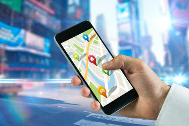
O Global Positioning System, better known as GPS, is a very elaborate localization system based on the use of geographic coordinates, which cover the combination of latitudes and longitudes. This system involves a joint action of 24 satellites and thousands of professionals around the world, allowing the identification of areas and even the addressing that we do when we search for a location on a cell phone or GPS device.

GPS helps us with everyday tasks, such as finding street addresses in big cities
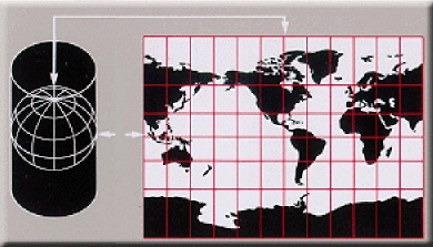
O Geoprocessing, in turn, is the process of selecting and obtaining data and geographic information to convert them into different types of cartographic representations. It is, therefore, the step that converts everything obtained on the earth's surface into maps, which allow the study and rapid dissemination of this information. Thanks to geoprocessing, we are able to gather previously selected information from an area and represent its distribution space, which helps in the elaboration of public and private actions, in the preservation of nature, in school education and in many others cases.
GISs are, therefore, important instruments that combine the technological advances that took place during the III Industrial Revolution with the work done by people to improve the way we produce space in our society. Thus, as long as they are well used, this information can help us build a better world, based on knowledge production.
By Me. Rodolfo Alves Pena
Take the opportunity to check out our video lesson on the subject:


