
the state of Santa Catarina is one of the 27 federative units in Brazil and its capital is Florianópolis.
The natives of the place are called Santa Catarina, but some call them “green belly”.
Located at southern region of the country, your area is bordering the Paraná, at North; to the Rio Grande do Sul, South; to the Atlantic Ocean, to the east; and the Argentina, to the west.
According to the 2010 census, released by the Brazilian Institute of Geography and Statistics (IBGE), Santa Catarina had 6,248,436 inhabitants, being considered the 11th most inhabited in the country. In 2019, the estimated population was 7,164,788 people.
Index
- Political map of Santa Catarina
- Map of the cities of Santa Catarina
- Santa Catarina road map
- Map of the beaches of Santa Catarina
- Santa Catarina tourist map
- Santa Catarina map to color
Political map of Santa Catarina
The state of Santa Catarina has an area of 95,730,921 km², with 295 municipalities.

Map of the cities of Santa Catarina
Of the 295 cities in Santa Catarina, the most populous are: Joinville, Florianópolis, Blumenau, São José, Criciúma, Chapecó, Itajaí, Lages, Jaraguá do Sul and Palhoça.

Santa Catarina road map
Santa Catarina borders Argentina. THE capital Florianópolis it is 1,539 km from Buenos Aires, 705 km from São Paulo, 1,144 from Rio de Janeiro and 1,673 from the federal capital, Brasília.
BR-101 is the main highway in the state, crossing the coast and carrying a large amount of production.
- Free Online Inclusive Education Course
- Free Online Toy Library and Learning Course
- Free Online Math Games Course in Early Childhood Education
- Free Online Pedagogical Cultural Workshops Course
BR-470 is another one of great relevance to Santa Catarina, connecting the Midwest to the coast. It connects BR-282 and BR-283, where the agro-industrial production exported through the port of Itajaí runs through.

Map of the beaches of Santa Catarina
With a total length of 531 km, the coast of Santa Catarina it has some of the most beautiful beaches in Brazil. See the map below:
Santa Catarina tourist map
In addition to the beautiful beaches, Santa Catarina has beauty for all tastes and cultures.
Being colonized by different peoples, such as Germans, Austrians, Gauchos, Dutch, Portuguese immigrants, Italians and Swiss, it keeps historical memories.
The SC Tourism Development Agency (Santur) updated the tourist map of Santa Catarina adding two tourist regions, now the total is 13.

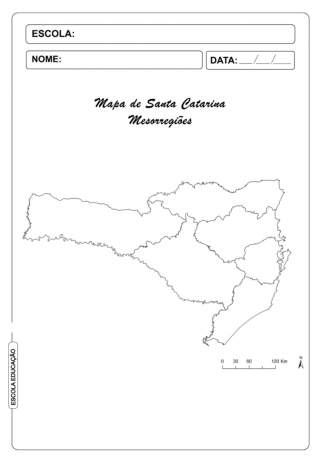
Santa Catarina map to color
Now that you've seen the main maps of the state, check out the Santa Catarina map to color:
See too:
- Bahia map
- Map of Minas Gerais
- Rio de Janeiro map
- Rio Grande do Sul map
- Sao Paulo map
The password has been sent to your email.