There are several elements of a map, that is, those items and symbols necessary for a mere figure to be distinguished from a real map or cartogram, which is made with scientific rigor to represent a certain surface area terrestrial. In general, maps usually have the following compositions: title, orientation, legend, scale and cartographic projection.
These are mandatory elements of a map, although they are not always present in every map we see out there. In any case, to better interpret cartographic information, it is necessary to know these instruments, trying to know what they are, what they indicate and what are their functions in the communication process, given that maps are also ways of language.
Let's observe, in the map below, how the different parts of a map are presented:

Sample demographic map of Brazil prepared by IBGE *
Title: The title, which is sometimes accompanied by a subtitle, is the indicator of the subject portrayed, when it is a thematic map. On historical maps, the title also usually indicates the year or period of the space represented. In order to correctly read any cartogram, the first thing to do is always read the title and understand what it indicates.
Subtitle: Subtitles are the meanings of symbols on maps. These symbols can be in the form of colors, icons, hatches, dots, lines and others. Some of these symbols have patterns, such as blue to represent water; green, for forests and green areas, lines with dashes to represent railways; airplanes to represent airports, among many other examples.
Do not stop now... There's more after the advertising ;)
Scale: indicates the mathematical relationship between real space and the representation of that space on the map. It therefore points out how many times an area had to be reduced to fit where the map is represented. Scales can be graphic or numerical (both present in the example above). The numerical scale is presented in numbers of a division, and the graphical scale is presented as a representation of lines and dashes.
Guidance: it is important to point the direction of the map, indicating which way is north and, consequently, the others Cardinal points. She can introduce herself with a wind rose complete or just with an arrow indicating geographic north. The importance of orientation is mainly on maps that represent very restricted areas, when we cannot easily see which way the map is pointing.
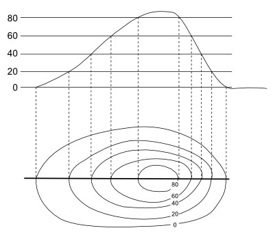
cartographic projection: indicates the technique that was used to make the map. As we know, the cartographic projections are the different ways of representing the terrestrial globe (which is geoid, almost spherical) in a plane. As this representation presents distortions, if we know which projection was used in a given map, we can get a better idea of them.
*map credits: IBGE. School Geographic Atlas. 6th ed. Rio de Janeiro: IBGE, 2012. p.113.
By Me. Rodolfo Alves Pena
Would you like to reference this text in a school or academic work? Look:
PENA, Rodolfo F. Alves. "Elements of a map"; Brazil School. Available in: https://brasilescola.uol.com.br/geografia/elementos-um-mapa.htm. Accessed on June 28, 2021.