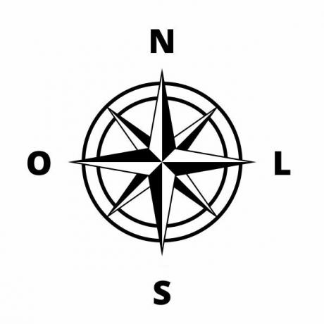
Maps are communication tools, as they express a representation of a given space or geographic region. Thus, they must present some basic elements to instrumentalize and facilitate this communication, such as the title, scale, location coordinates and orientation.
In addition, a fundamental element to facilitate the understanding of maps are the subtitles, which are constituted from the most diverse cartographic symbols. When we have a red dot on the map and the legend indicates that this location is a gas station, for example, it is possible to locate in the area represented where exactly that post is located, in addition to its geographical position and its proximities and landmarks can be observed.
In this sense, the choice of these symbols needs to be judicious to avoid deviations and standardize the interpretations, whose benefit is the promotion of an easier, faster and more objective reading of the representation cartographic in question.
For this reason, the choice of symbols that will compose the maps is not random, it needs to follow a minimum standard for its establishment. Thus, we can classify the symbology of maps into three main types of legend, typified from their forms in:
linear, punctual and zonal.You point symbols they are usually used when the surface of the objects to be highlighted has negligible dimensions in relation to the total area represented. For example: a bus stop in an entire city or a city on the world map. They have the advantage of representing the exact location of the indicated points.

Examples of one-off subtitles
You linear symbols are those used to represent objects and elements of large extension, but which do not have a relevant width. These representations necessarily need to be in accordance with the scale of the map to correctly indicate the extent of the indicated points. Example: highways and railways.
Do not stop now... There's more after the advertising ;)

Examples of linear subtitles
You zonal symbols they are used to represent entire areas along a map, such as the extent of an agricultural field or the urban space in the area of a municipality.

Examples of zonal captions
In addition to these three types, other elements are also used to compose the signs and meaning patterns of the captions. When these express a quantitative phenomenon, they may vary according to the size the stitches, the fill types of the designs, or even the color patterns. For example: on a map that indicates the temperatures of a region, shades of red can be used in legends zonal, in which warmer regions are filled with darker colors and cooler regions with more colors. clear.
On the other hand, when subtitles present variations of qualitative phenomena, the forms are usually used with a type of fill or design to indicate each different element. of the map. For example, on a map, you want to distinguish the urban area from the rural area by designating both elements with zonal legends, but each with a different fill.
Although the cartographer or geographer is the one who determines the patterns of legends on his maps, there are some general conventions for designating some surface types and shapes. Liquid surfaces, for example, are always represented by blue, and vegetation by green.
Knowing the elements that underlie the communication patterns existing in cartographic legends is important to help us better understand what they are representing, making it easier to read and use didactic.
By Rofolfo Alves Pena
Graduated in Geography
Would you like to reference this text in a school or academic work? Look:
PENA, Rodolfo F. Alves. "Symbolism of maps"; Brazil School. Available in: https://brasilescola.uol.com.br/geografia/simbologia-dos-mapas.htm. Accessed on June 28, 2021.

