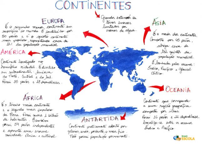
The American continent is divided into three parts: South America, Central America and North America. Next, we will discuss specific information about Central America that fits into Latin America, where underdeveloped or developing countries are located.
Central America is divided into continental and insular stretches. Continental Central America corresponds to a restricted strip of emerged lands that connects Central America to North and South America. Seven countries are established on this isthmus: Belize, Guatemala, Honduras, El Salvador, Nicaragua, Costa Rica and Panama.
Insular Central America (or formed by islands), corresponds to a group of islands located in the Sea of Antilles known as the Caribbean Sea, which is branched into the Greater Antilles, Lesser Antilles and the Bahamas. In the first Antille are present the most important nations of the Caribbean such as Cuba, Jamaica, Haiti, Republic Dominican Republic and Puerto Rico, which is part of the control of the United States, despite that it does not have representatives in the congress.
The Lesser Antilles are made up of eight autonomous nations: Antigua and Barbuda, Barbados, Dominica, Grenada, Saint Lucia, Saint Kitts, Nevis, Saint Vicente, the Grenadines and Trinidad and Tobago, plus five UK possessions: Anguilla, Cayman Islands, Turks and Caicos Islands, British Virgin Islands and Montsserat. There are also two possessions of Holland, the Netherlands Antilles and Aruba; two possessions of France: Guadeloupe and Martinique; and a possession of the United States: the US Virgin Islands.
Natural Features of Central America
A large portion of the territory that makes up Central America is occupied by mountains that periodically develop the process of volcanism and also earthquakes. The areas that present the plains are restricted to the Atlantic and Pacific coasts.
Central America is located practically in its entirety in the intertropical zone, however, it develops other types of climates from altitudes, from which it is possible to identify three domains climatic.
Hot lands represent the regions where the plains and low plateaus are located, where they occur. monthly average temperatures of around 25°C, with characteristics of tropical humid and equatorial.
Temperate lands are located in areas between the plains and the mountains, prevailing average temperatures of approximately 20ºC and developing a tropical altitude climate.
Cold lands correspond to places that are constituted by high mountains and that therefore cause temperatures similar to those of a cold climate.
The relief of the Caribbean Islands is constituted by mountains formed by volcanic events, in fact, many of these mountains are volcanoes, some are active like Pelée located in Martinique.
Do not stop now... There's more after the advertising ;)
Eduardo de Freitas
Graduated in Geography
Would you like to reference this text in a school or academic work? Look:
FREITAS, Eduardo de. "Central America"; Brazil School. Available in: https://brasilescola.uol.com.br/geografia/america-central.htm. Accessed on June 27, 2021.

