You continents they are portions of emerged land surrounded by water on all sides and which, unlike the islands, have a wide territorial extension. By geographical convention, it is customary to say that a continent is any set of lands whose area is greater than that of Australia, the smallest of countries with continental dimensions. The continents can also be considered as a more or less cohesive grouping of different lands, including archipelagos that are close to each other, as is the case of Oceania.
The variations in continent concept they also interfere with their number on Earth. In some definitions, one can only consider as a continent an area that presents favorable environments for human habitation; in other approaches, this criterion is not placed. Therefore, some authors claim that Antarctica cannot be considered one of the Earth's continents, while, for other authors, yes.
In a more practical and usual definition, we can consider continents as a division of different areas of the earth's surface. They would, therefore, be a form of regionalization of our planet. In this sense, continuous areas that, in theory, should form a single continent (Europe + Asia = Eurasia) form two due to purely political divisions. For this reason, the Earth's continents are
: America, Europe, Asia, Africa, Oceania and Antarctica.It's the Arctic (North Pole), can not be considered a continent?
The Arctic is not formed by a set of lands, but only by ice, unlike Antarctica, which is formed by a land surface covered by ice.
The biggest continent on Earth is the Asia, which has a territorial extension of 44.5 million km², the equivalent of one third of all emerged lands. Asia also has the largest number of inhabitants and, at the same time, the highest densities demographic, with so-called “human anthills in some areas of China, India, Pakistan and of Indochina. These locations and their adjacent regions are home to more people than the rest of the planet.
If we consider the north-south extension, the highlight will be the American continent, which occupies an area that goes from the extreme point of Greenland, at about 83ºN of latitude, to the south of the territory of Chile, at about 56ºS latitude.
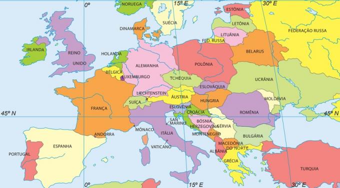
The smallest of the Earth's continents is the Oceania – which is also called the Australian continent because the Australia to be the only country on that continent that is not considered an island. Its extension is approximately 8.5 million km². The second smallest is the Europe, with just over 10 million km². If we consider the European territory without the portion belonging to Russia, the extension of this continent would be smaller than that of the Brazilian territory.
Do not stop now... There's more after the advertising ;)
Russia is, therefore, a country that lies on two continents (Asia and Europe) in the same way as Turkey (also Asia and Europe) and Egypt (Africa and Asia). Not to mention those countries that have some dominations or protectorates in other distant regions, such as the United States (American Samoa and several other islands), the United Kingdom (Islas Malvinas, Cayman Islands, Bermuda and many other locations), France (French Guiana) and the Netherlands (Suriname), among others.
There is also a bicontinental city: Istanbul, the most important city in Turkey and which is divided in half across the Bosphorus Strait, the same channel that divides Asia from Europe, the two continents to which this City.
Below are some data from the Earth's continents:
Asia
Area: 44,579,000 km²
Population: 4.5 billion inhabitants
Number of countries: 50
Surrounding oceans: Arctic Glacier to the north, Pacific to the east and Indian to the south.
America
Area: 42,549,000 km²
Population: 953.7 million inhabitants
Number of countries: 35
Surrounding oceans: Pacific to the west, Atlantic to the east, Arctic glacier to the north and Antarctic glacier to the south.
Africa
Area: 30,221,000 km²
Population: 1.2 billion inhabitants
Number of countries: 55
Surrounding oceans: Atlantic to the west, Indian to the east and Antarctic Glacier to the south
Europe
Area: 10,180,000 km²
Population: 742.5 million inhabitants
Number of countries: 49
Surrounding oceans: Atlantic to the west and Arctic glacier to the north
Oceania
Area: 8,526,000 km²
Population: 37.1 million inhabitants
Number of countries: 14
Surrounding oceans: Pacific to the east and north, Indian to the west and Antarctic Glacier to the south.
Antarctica
Area: 14,000,000 km²
Population: -
Number of countries: Currently, 26 countries have territories on this continent
Surrounding Oceans: Antarctic Glacier
By Me. Rodolfo Alves Pena
1 – The world map below shows all continents highlighted in different colors. Name the continent for each color on the world map in question.
Planet Earth has six continents, covering 149,440,850 square kilometers, occupying approximately 29.3% of the Earth's surface. Check the alternative that indicates the largest continent on Earth.

