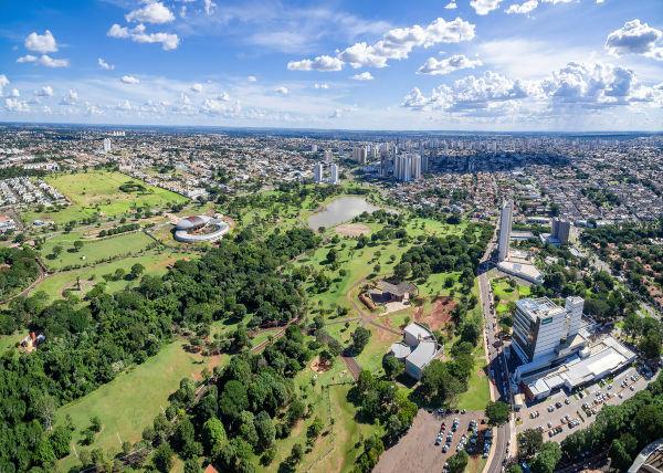
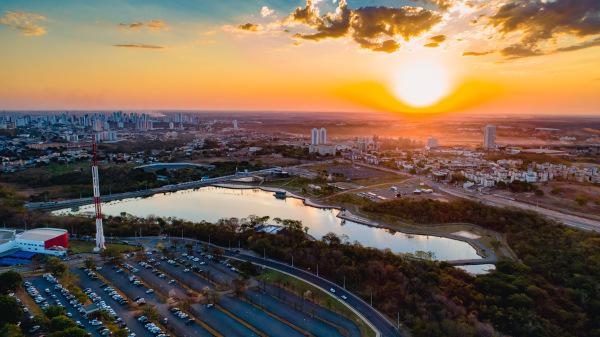
Bahia is a Brazilian state located in the northeast region of the country. The state is located in the south of the northeast region, this unit of the federation is limited to Alagoas, Sergipe, Pernambuco, in addition to Piauí to the north, Minas Gerais and Espírito Santo to the south, Goiás and Tocantins to the west and the ocean to the east Atlantic.
The state occupies an area of 564,830,859 km2, within the territory there are different types of relief, climate, vegetation and hydrography.
Relief
Much of the territory of Bahia has reliefs that are above 200 meters in altitude. In this territory there is a wide variety of reliefs, where the dunes, plains and mangroves in the coast, to the southeast there is the plateau, in the valley of the São Francisco river there are depressions, places where the climate develops semi-arid.
In Bahia, the highest point is located in the Barbado mountain range, which has altitudes that reach up to 2,033 meters.
Climate
In the territory of Bahia, the prevailing climate is tropical, because of this the temperatures are high practically all year, above 26ºC, except in the Espinhaço mountain range, where temperatures are mild.
The semi-arid climate is present in the interior of the state with little rainfall, causing long periods of drought. In the region of Ilhéus, rainfall rates can exceed 1,500 mm and in the hinterland it does not exceed 500 mm per year. The rains are irregular, in some years it does not occur, which causes drought.
Vegetation
There are three basic types of vegetation cover in the territory of Bahia, the caatinga that occupies most part, humid tropical forest and the cerrado.
Hydrography
The coastal coast of the state is 932 km long, as for the rivers, the main one is the São Francisco, the basin of this river covers an area of 304,421.4 km2 that cuts through a large part of the state. São Francisco exerts great influence on important municipalities in Bahia, some of them with great economic potential. In addition to this basin, there are also the Itapicuru, Paraguaçu, Contas and Jequitinhonha rivers.
Do not stop now... There's more after the advertising ;)
_____________
*Image credits: Vinicius Tupinamba / shutterstock
By Eduardo de Freitas
Graduated in Geography
Would you like to reference this text in a school or academic work? Look:
FREITAS, Eduardo de. "Natural aspects of the State of Bahia"; Brazil School. Available in: https://brasilescola.uol.com.br/brasil/aspectos-naturais-estado-bahia.htm. Accessed on June 28, 2021.


