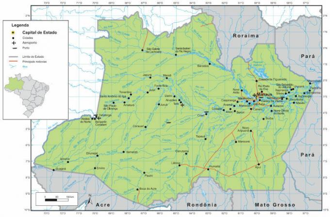
Roraima is a unit of the Federation located in the extreme north of Brazil, its territory is sparsely populated, there are few municipalities compared to other states.
The state is located in the Amazon Forest, evidently, there is a huge variety of plants, animals, in addition to other landscape components, such as relief and its variations and an important hydrographic network.
Relief
In general, the relief contained in the territory of the State of Roraima is predominantly flat, about 60% of the entire state area has altitudes below 200 meters, 25% rises to an average between 200 and 300 meters, 14% from 300 to 900 meters and only 1% have surface elevations greater than 900 meters above the level of the sea.
There are two geomorphological structures, the Undulating Plateau and the Northern Escarpments, these are part of the Guiana Plateau. Its Undulating Plateau is a large pediplan, formed by isolated and scattered massifs and peaks.
Climate
The prevailing climate in Roraima is similar to that of the States of the North Region that shelter the Amazon Forest, basically equatorial and tropical-humid, the average temperature that occurs during the year varies from 20ºC in relief points with higher altitudes, and 38ºC in relief areas smooth or flat.
The rainfall index in the eastern part is about 2,000 mm and in the western part is approximately 1,500 mm, in the vicinity of the capital the rates reach 2,600 mm.
Vegetation
Generally speaking, in the western and southern part the Amazon Forest prevails, while the central-eastern part presents shrub and herbaceous formations, such as meadows and cerrados.
Do not stop now... There's more after the advertising ;)
However, the vegetative landscape composition of the state can be more specifically classified as follows:
Amazon Rainforest, composed of dense and humid forests.
Campos Gerais do Rio Branco, formed by grasses, large palm trees, burit trees, among others.
Mountain region, spaced trees, existence of a large amount of organic matter such as humus.
They are part of the vegetation cover on the banks of rivers:
- Terra Firme Forest: corresponds to the forest that is not influenced by river floods.
- Forests of Várzeas: forests located in areas influenced by river floods.
- Riparian Forests: these are flooded reserves at each flood cycle.
Hydrography
The Roraima hydrographic network is part of the Amazon River Basin, within the territory the most important river is the Rio Branco, responsible for the formation of a regional basin.
The Rio Branco is extremely influenced by the rainfall index, which automatically reflects the volume of water in the river.
Most of the rivers in the region have a large number of beaches in the summer, ideal for tourism and leisure, as well as Furthermore, there are rivers of rapids located in the north of the state, it is an option for sports, such as canoeing.
All water sources in Roraima have their origin within its territory, except for two rivers with sources in Guyana. All rivers in the state flow into the Amazon Basin.
The largest rivers in Roraima are Uraricoera and Tacutu, which together give rise to the Rio Branco, Amajari, Parime, Mau, Surumu and Cotingo.
By Eduardo de Freitas
Graduated in Geography


