You States from the north of Brazil there are seven:
Acre (AC);
Amapá (AP);
Amazonas (AM);
Pará (PA);
Rondônia (RO);
Roraima (RR);
Tocantins (TO).
These seven states occupy approximately 45% of the surface of Brazil, despite registering the lowest demographic densities in the national territory. They have a similar climate, marked by heat and high humidity, in addition to a relief characterized by depressions and plains. The Amazon biome is predominant in the states of the North region. Considering these and other natural, socioeconomic and cultural aspects, it was possible to gather these seven federation units into a single Great Region.
Read too: Map of Brazil — cartographic representation of the Brazilian territory
Summary about the states of the North
The North region of Brazil is made up of seven states.
Amazonas is the largest state in the North region, occupying 40% of its surface.
The state of Pará is the most populous in the North region, with 8.1 million inhabitants.
Roraima is the least populous state in the North and also in Brazil, with 733 thousand inhabitants.
The northern states have, for the most part, a hot and humid equatorial climate. In some of them there is occurrence of tropical climate.
The Amazon biome is predominant in the northern states. In areas of Tocantins and in spots in other states it is possible to observe stretches of the Cerrado.
The northern states are inserted in the Amazon and Tocantins-Araguaia watersheds.
Pará's economy is the largest state economy in the North region.
The main economic activities include the tertiary sector and mineral and vegetable extraction, as well as the industry associated with them.
Manaus (AM) is the most populous capital in the North region, with 2 million inhabitants.
Northern states map

What are the states in the North of Brazil?
The North region of Brazil is composed of seven states, which are listed in the table below along with the abbreviations that are used to represent each one of them.
state |
Acronym |
Acre |
B.C |
Amapá |
AP |
amazon |
AM |
For |
SHOVEL |
Rondônia |
RO |
roraima |
RR |
Tocantins |
TO |
See too: Northern climate characteristics — why does it rain so much in this region?
Characteristics of the states of Northern Brazil
Next, see a brief summary with the main information about the seven states of the North region.
→ Acre (AC)
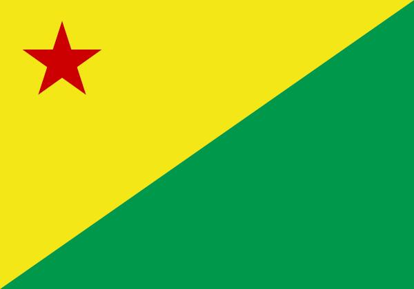
Gentile: acrean.
Territorial extension: 164,173.43 km², which represents 4.26% of the surface of the North region.
Number of municipalities: 22.
Population: 830,026 inhabitants (IBGE, 2022), 4.78% of the population of the North region.
Urbanization rate: 72.56% (IBGE, 2010).
Demographic density: 5.06 inhabitants/km² (IBGE, 2022).
GDP: BRL 16,476,000,000.
HDI: 0,710.
Time zone: GMT-5 hours.
-
Acre's Geography:
Climate: equatorial, marked by high temperatures and high air humidity.
Relief: plains, with an average altitude of 200 meters.
Biomes: Amazon, showing forest vegetation.
Hydrography: inserted in Amazon Watershed. Among its main rivers are the Purus and Juruá rivers.
Economic profile: the state is one of the least developed in Brazil and has a mostly primary economy, concentrated in plant extractivism (wood and rubber) and in tertiary activities, such as trade and services.
Brief history: Acre was incorporated into Brazilian territory in 1903. Before that, it belonged to the territory of Bolivia. It became a state of the federation in 1912. To learn more about this state, click here.
→ Amapá (AP)

Gentile: amapaense.
Territorial extension: 142,470.76 km², which represents 3.69% of the surface of the North region.
Number of municipalities: 16.
Population: 733,508 inhabitants (IBGE, 2022), 4.22% of the population of the North region.
Urbanization rate: 89.77% (IBGE, 2010).
Demographic density: 5.15 inhabitants/km².
GDP: BRL 18,469,000,000.
HDI: 0,688.
Time zone: GMT -3 hours.
-
Geography of Amapá:
Climate: equatorial, characterized by hot and humid weather.
Relief: plains and some plateau regions.
Biomes: Amazon, with forest vegetation and mangroves (on the coast).
Hydrography: inserted in the Amazon Hydrographic Basin. Bathed by the Atlantic Ocean to the east. Among its main water courses are the Amazon and Oiapoque rivers.
Economic profile: trade and services are predominant in Amapá's economy. The primary sector plays an important role, especially in relation to the production of Brazil nuts, wood and açaí, in addition to foods such as rice and cassava. The industry is quite recent.
Brief history: it was an integral part of Pará between 1900 and 1943, when it gained its autonomy. It was elevated to the condition of state of the federation in 1988. To learn more about this state, click here.
→ Amazon (AM)

Gentile: amazonense.
Territorial extension: 1,559,255.88 km², which represents 40.49% of the surface of the North region.
Number of municipalities: 62.
Population: 3,941,175 inhabitants (IBGE, 2022), 22.71% of the population of the North region.
Urbanization rate: 79.09% (IBGE, 2010).
Demographic density: 2.53 inhabitants/km².
GDP: BRL 116,019,000,000.
HDI: 0,700.
Time zone: GMT -4 and GMT -5 hours.
-
Amazon Geography:
Climate: equatorial, characterized by high temperatures and air humidity above 60%.
Relief: plains and depressions, with isolated areas of plateaus.
Biomes: Amazon, with vegetation formed by forests.
Hydrography: inserted in the Amazon Hydrographic Basin. It houses the largest stretch of the longest and most powerful river in the world, which is the Amazon River.
Economic profile: second largest economy in the North region. Services and industry have an equivalent weight in the Amazonian economy, with emphasis on the presence of the main regional industrial center, which is the Manaus Free Trade Zone.
Brief history: the province of Amazonas was created in the middle of the 19th century, after Manaus was officially recognized as a city. It was in the Amazon that the economic cycle of rubber developed most intensely, between the 19th and 20th centuries. To learn more about this state, click here.
→ Pará (PA)

Gentile: paraense.
Territorial extension: 1,245,870.70 km², which represents 32.35% of the surface of the North region.
Number of municipalities: 144.
Population: 8,116,132 inhabitants (IBGE, 2022), 46.77% of the population of the North region.
Urbanization rate: 68.48% (IBGE, 2010).
Demographic density: 6.51 inhabitants/km².
GDP: BRL 215,936,000,000.
HDI: 0,690.
Time zone: GMT -3 hours.
-
Pará Geography:
Climate: equatorial climate, characterized by hot weather and high air humidity.
Relief: predominant plains and depressions, with plateaus in the south of the state.
Biomes: Amazon, with vegetation formed by forests and areas of open fields, to the south.
Hydrography: integrates the Amazon and Tocantins-Araguaia watersheds. Its main rivers are the Amazon, Xingu, Tapajós and Araguaia.
Economic profile: it is the largest economy in the North region. Its main economic activities are in the tertiary and primary sectors, with emphasis on mineral extraction, where iron ores, copper, bauxite and other resources are found.
Brief history: it was part of the hereditary captaincy of Grão-Pará, dismembered in 1774. It was the last state to join independent Brazil, which happened on August 16, 1823. To learn more about this state, click here.
→ Rondônia (RO)
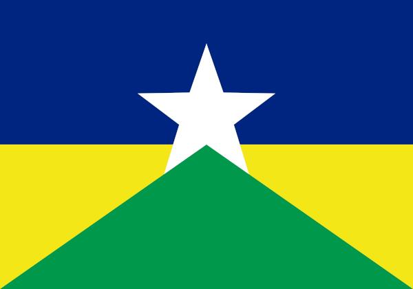
Gentile: rondoniense or rondoniano.
Territorial extension: 237,754.17 km², which represents 6.17% of the surface of the North region.
Number of municipalities: 52.
Population: 1,581,016 inhabitants (IBGE, 2022), 9.11% of the population of the North region.
Urbanization rate: 73.55% (IBGE, 2010).
Demographic density: 6.79 inhabitants/km².
GDP: BRL 51,599,000,000.
HDI: 0,700.
Time zone: GMT -4 hours.
-
Rondônia's Geography:
Climate: humid equatorial and tropical in the extreme south, with rainy summers and dry winters.
Relief: plains and plateaus in the western portion of the state.
Biomes: Amazon, with forest vegetation, and patches of Cerrado.
Hydrography: inserted in the Amazon Hydrographic Basin, having as main river the Madeira, which is one of the tributaries of the Amazon River.
Economic profile: the tertiary sector is predominant in the state. It also stands out in plant and mineral extraction and in the generation of electricity. It is the state where the Brazilian agricultural frontier, with grain production, has expanded in recent years.
Brief history: Called the Federal Territory of Guaporé between 1943 and 1956, the state of Rondônia was created on December 22, 1981. To learn more about this state, click here.
→ Roraima (RR)

Gentile: roraimense.
Territorial extension: 223,644.53 km², which represents 1.45% of the surface of the North region.
Number of municipalities: 15.
Population: 636,303 inhabitants (IBGE, 2022), 3.66% of the population of the North region.
Urbanization rate: 73.55% (IBGE, 2010).
Demographic density: 2.85 inhabitants/km².
GDP: BRL 16,024,000,000.
HDI: 0,699.
Time zone: GMT -4 hours.
-
Geography of Roraima:
Climate: humid tropical in the center-northern portion of the state and equatorial in the other areas.
Relief: plateaus and depressions.
Biomes: Amazon, with forest vegetation and general grasslands in some areas.
Hydrography: inserted in the Amazon Hydrographic Basin. Its main watercourse is the Branco River.
Economic profile: it is the smallest economy in the North region and in the Brazilian territory. The tertiary sector and the primary sector are the main segments of the economy of Roraima, highlighting plant extractivism (wood) and agricultural production of soy and rice.
Brief history: corresponded to the Federal Territory of Rio Branco in the mid-twentieth century, officially becoming a state of the federation in 1988. To learn more about this state, click here.
→ Tocantins (TO)
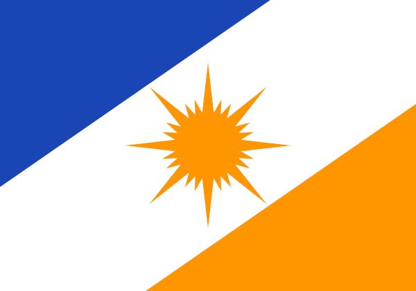
Gentile: tocantins.
Territorial extension: 277,423.62 km², which represents 7.2% of the surface of the North region.
Number of municipalities: 139.
Population: 1,511,459 inhabitants (IBGE, 2022), 8.71% of the population of the North region.
Urbanization rate: 78.8% (IBGE, 2010).
Demographic density: 5.45 inhabitants/km².
GDP: BRL 43,650,000,000.
HDI: 0,731.
Time zone: GMT -3 hours.
-
Geography of Tocantins:
Climate: tropical, with hot, humid summers and mild, dry winters.
Relief: formed predominantly by plateaus.
Biomes: Cerrado and Amazon, in the extreme north of the state.
Hydrography: inserted in Tocantins-Araguaia Watershed. Its main water courses are the Araguaia, Tocantins and Sono rivers.
Economic profile: the tertiary sector and the primary sector are the two main segments of the economy of tocantins, with emphasis on livestock activity (beef) and the planting of agricultural commodities, such as soy.
Brief history: integrated the territory of Goiás and fought for its emancipation in a more intense way from the 19th century onwards. It officially became an independent state and joined the federation in 1988. To learn more about this state, click here.
Northern state capitals
state |
capital |
gentile of the capital |
Population of the capital (in inhabitants) |
Acre |
White River |
rio-branquense |
364.756 |
Amapá |
Macapá |
macapaense |
442.933 |
amazon |
Manaus |
Manaus |
2.063.547 |
For |
Bethlehem |
belenense |
1.303.389 |
Rondônia |
Porto Velho |
Porto Velho |
460.413 |
roraima |
Good view |
Boa Vista |
413.486 |
Tocantins |
palms |
Palmense |
302.692 |
Sources
Atlas of. Human Development in Brazil. Available in: http://www.atlasbrasil.org.br/.
IBGE. Territorial structure: Territorial areas. Available in: https://www.ibge.gov.br/geociencias/organizacao-do-territorio/estrutura-territorial/15761-areas-dos-municipios.html.
IBGE. IBGE Explains: Gross Domestic Product (GDP). Available in: https://www.ibge.gov.br/explica/pib.php.
IBGE. SIDRA – Database of Statistical Tables. Available in: https://sidra.ibge.gov.br/home/pimpfbr/brasil.
IBGE Cities. Available in: https://cidades.ibge.gov.br/.
By Paloma Guitarrara
Geography Teacher
Source: Brazil School - https://brasilescola.uol.com.br/brasil/estados-do-norte.htm

