Brazil has continental dimensions. There are more than 8.5 million km² distributed between 26 states and the Federal District. The territorial extension of Brazil is greater than the set of other countries in the South America.
This territorial vastness generates a very interesting discussion: how far does Brazil's limit go? Or, where is the end of Brazil? These are the questions that this text intends to clarify. To answer these questions, we must look at the extremes of Brazil, as indicated on the map.
Extreme points of Brazil
In latitudinal extension, Brazil has the extreme points located to the north, in the Mount Caburai, at the source of the Ailã river, in Roraima; and, to the south, in the Chuí's Stream, in Rio Grande do Sul. The distance between these two extreme points from north to south is 4,394 km.
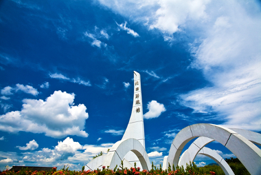
At longitudinal extension, the extreme points of Brazil are located to the west, in Acre, in Serra da Contamana, at the source of the River Moa; and to the east, at Ponta do Seixas, in João Pessoa, Paraíba. The distance between these extreme points from east to west is 4.319km².
Note that the distances between the extreme points from east to west and from north to south are practically equivalent, with a difference of only 75 km.
Importance
The identification of these extreme points marks the importance of the debate about the borders of each country and the consequent need to know and occupy the territory. These demarcations are also important to stimulate tourism issues in these regions, which take advantage of these peculiarities to add value to local tourism and thus become better known in the country and outside.


