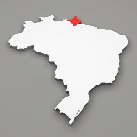
The State of Rondônia is privileged in terms of natural resources, to understand the current configuration it is necessary to consider all the elements that make up the functioning of the ecosystem and its basic characteristics (relief, climate, vegetation and hydrography).
Relief
The relief of the State of Rondônia is basically composed of plains and low plateaus, which have, on average, altitudes that vary between 90 and 1000 meters in relation to sea level.
Thus, the type of relief that predominates in the territory varies from 100 to 600 meters, this in approximately 94% of the entire state area, the rest reaching elevations above 600 meters.
However, the relief presented consists of four geomorphological units: Plain Amazon, Northern Brazilian Plateau, Chapada dos Parecis and Paacás Novos and Vale do Guaporé-Mamore.
Climate
In the territory of the state, it is possible to identify three types of climates:
- Equatorial: it has high temperatures combined with high humidity, there has been only three months without precipitation (rain). This climatic characteristic generates influence in the north of the state, in the bordering areas with the state of Amazonas and around Porto Velho.
- Hot and humid: consists of a lot of heat and a lot of rain, the dry period lasts up to two months.
- Hot and semi-humid: this influence is restricted to the western part of the state where the municipalities of Colorado and Cabixi are located.
In a broader context, in Rondônia the annual average temperatures vary between 24° to 26°C, during the months of June, July and August the temperature drops, reaching up to 8ºC, this happens due to the passage of a front polar. The driest month is July and the wettest is September. In the State, the annual pluviometric indexes vary between 1,800 to 2,400 mm.
Do not stop now... There's more after the advertising ;)
Vegetation
The vegetation cover of the State is diversified, presenting several types of vegetation, among which the following stand out:
Open Ombrophilous Forest
This type of vegetation is the most prevalent in the state, especially in the east, south, north and central area of the territory.
The Ombrophilous Forests are constituted by four vegetal physiognomies (vine forest, palm trees, bamboo and sorocaba).
Dense Ombrophilous Forest
Occurs in a restricted area located in the central part, it is basically formed by palm trees, woody vines, epiphytes and medium and large trees.
Seasonal Semideciduous Forest
This type of vegetation cover occurs in the south of the state, has trees in a limited number called deciduous (trees that lose their leaves in drought or winter).
thick
There are “spots” of the cerrado in the center of the state, this type of vegetation consists of small trees, twisted trunks, thick leaves and bark and deep roots.
Alluvial Vegetation
It appears on the outskirts of the Guaporé river, has characteristics of a vegetation cover formed from shrubs (acacias, mimosa) and herbaceous plants (junco, ass-tail).
Hydrography
Rondônia's hydrographic network comprises three main basins and a secondary one.
Madeira River Basin
The main river is the Madeira and its main tributaries are: Right bank:
- Ribeirão river,
- Igarapé das Araras,
- Brown river,
- Mutum-Paraná river,
- Cyril garapé,
- Jaci-Paraná river,
- Caracol river,
- Jamari river,
- Mururé Igarapé and
- Ji-Paraná river.
The left bank tributaries are the rivers:
- Album,
- Ferreiros river,
- São Simão Igarapé,
- São Lourenço River,
- Caripunas river,
- Maparaná Igarapé,
- Cuniã and
- river Aponiã.
Guaporé and Mamoré River Basin
Main rivers: Guaporé and Mamoré.
Ji-Paraná River Basin
Main river: Ji-Paraná.
Rooselvet river basin, secondary basin.
Main river: Rooselvet.
By Eduardo de Freitas
Graduated in Geography


