The beginning of 2013 was marked by landslides and urban floods, especially in the state of Rio de Janeiro, but which also occurred in other states, such as São Paulo and Minas Gerais. This scenario has been very common in several Brazilian localities located in areas close to the coast and on the slopes of plateaus and mountain ranges that skirt the Brazilian coast, and the population residing in these places remains helpless and deprived of support effective by the government, which ends up having to accept its inability to avoid this type of tragedy and manage its impacts.
On January 2, 2013, in the city of Duque de Caxias, located in the metropolitan region of Rio Janeiro, at least two people died and about 200 people were left homeless after a heavy and lasting rain that caused the flood of the Saracuruna River in the district of Sherem. In the same week, the risks of landslides forced the eviction of houses in cities such as Angra dos Reis, Teresópolis and Petrópolis. Even the city of Rio de Janeiro, which has enormous tourist potential and in the middle of high season, suffered impacts from the floods that affected several neighborhoods. A little over a month after this episode, the city of São Paulo was affected by storms that produced several flooding points, paralyzing some avenues and even railway transport.
Brazil is recognized as a tropical country, which means that the Brazilian territory is located in an intertropical climate zone, subject to a large amount of of insolation and possibilities for the formation of wetter climates, in addition to having a large heated coastal strip that also contributes to the formation of moist masses. Most of the large Brazilian cities are very close to a strip of land located between the coast and the plateaus, or even close to large rivers and floodplain areas.
Do not stop now... There's more after the advertising ;)
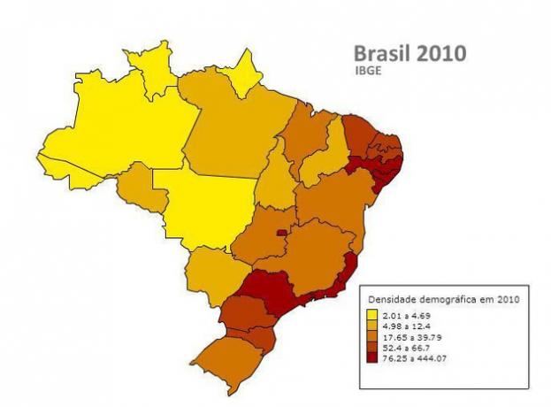
In spite of the role of heavy rains typical of the Brazilian summer and of a relief prone to more intense erosive processes, the theoretical foundation that deserves a broader and more detailed discussion concerns the historical process of occupation carried out in the Brazil. Taking as a reference the rural exodus that occurred in the country, mainly from the 1950s onwards, large population displacements in the countryside-city direction have swelled several cities, and it is worth noting that the areas with the greatest concentration of economic activities in Brazil have always been located between the plateaus and the Coast. The scarcity and the increase in the price of central properties forced people to seek risk areas to fix their homes, promoting a series of irregular occupations in areas on slopes and near streams and rivers.
Urban climate change is also related to flooding. The removal of vegetation cover and the waterproofing carried out by the paving and buildings contribute to the formation of heat islands, increasing the possibilities of storm formation. Efforts to develop preventive policies need to consider all these factors, as it is not possible to solve the problem of floods in a short time, but it is it is necessary to guarantee decent housing conditions for those who live with this reality every year and, at the same time, create possibilities to face their consequences.
Julio César Lázaro da Silva
Brazil School Collaborator
Graduated in Geography from Universidade Estadual Paulista - UNESP
Master in Human Geography from Universidade Estadual Paulista - UNESP
Would you like to reference this text in a school or academic work? Look:
SILVA, Julius César Lázaro da. "The Great Floods in Brazil"; Brazil School. Available in: https://brasilescola.uol.com.br/geografia/as-grandes-enchentes-no-brasil.htm. Accessed on June 28, 2021.


