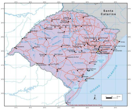
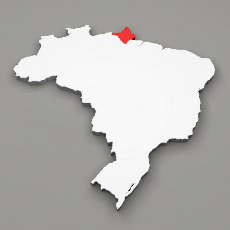
The territory of Paraná is made up of several natural compositions that reflect on the landscapes.
To understand the current configuration of the state area, it is extremely important to carry out an analysis of the main elements that make up the landscape arrangement in the region.
Relief
The State has basically flat surface, arranged at high altitude with steep plateaus. Along the Paraná area, it is possible to identify five relief units:
coastal lowland
Formed by a flat surface, in some places they alternate between flat and elevated.
Serra do Mar
It is formed from immense vertical walls facing the Atlantic Ocean, it is precisely in these places that the highest points of the State are presented.
Curitiba Plateau
This plateau has an average elevation of 900 meters, where rocks that show two variations, oscillations or geological crests prevail.
Guarapuava Plateau
It is the largest plateau in Paraná, it is constituted by solidified lavas, thus, the set of rocks present are magmatic, in the region the altitudes vary between 300 and 1,250 meters.
Climate
In Paraná, the predominant climate is subtropical, although there is a restricted tropical area with hot summers and severe winters, its capital is the coldest city in the country, as it has a relatively average annual temperature. low.
Do not stop now... There's more after the advertising ;)
Rainfall rates in the state reach 2,000 mm annually, rainfall is well distributed throughout the year, and the average temperature in the state is 19ºC.
Vegetation
The vegetation cover of the State is formed by Tropical Forest, Subtropical Forest and Campos.
The Tropical Forest is part of the Atlantic Forest, consists of a typically Brazilian vegetation that covers much of the territory, especially the coastal part. The Subtropical Forest is composed of broadleaved vegetation, conifers, cedar and yerba mate, called Florestas das Araucarias.
The fields are dispersed throughout the territory, there are two types, Campos Limpos (9% of the territory) and Campos Cerrado (about 1% of the state area).
Hydrography
Many Paraná rivers drain their water directly into the sea, others go west and are tributaries of the Paraná River. The State of Paraná has in its territory five hydrographic basins.
Paraná River Basin: its main tributaries are Piriquiri and Ivaí.
Paranapanema River Basin: the tributaries are the Pirapó, Tibaji, das Cinzas and Itararé rivers.
Aguaçu River Basin: its tributaries are the Chopim and Negro rivers.
Ribeira do Iguape river basin: tributaries of the Ribeira do Iguape river.
Coastal Paraná Basin: waters that go straight to the Atlantic Ocean.
Eduardo de Freitas
Graduated in Geography
Would you like to reference this text in a school or academic work? Look:
FREITAS, Eduardo de. "Natural aspects of Paraná"; Brazil School. Available in: https://brasilescola.uol.com.br/brasil/aspectos-naturais-parana.htm. Accessed on June 28, 2021.


